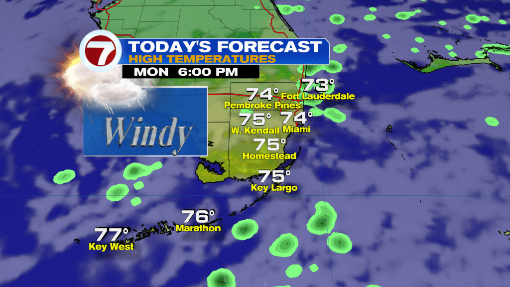
South Florida a front came through last night and with it located to the South and high pressure building in across the mid-Atlantic region, it is funneling in stronger winds, clouds and some showers. The chance of seeing brief showers and an isolated storm on this Monday is possible through the afternoon hours.
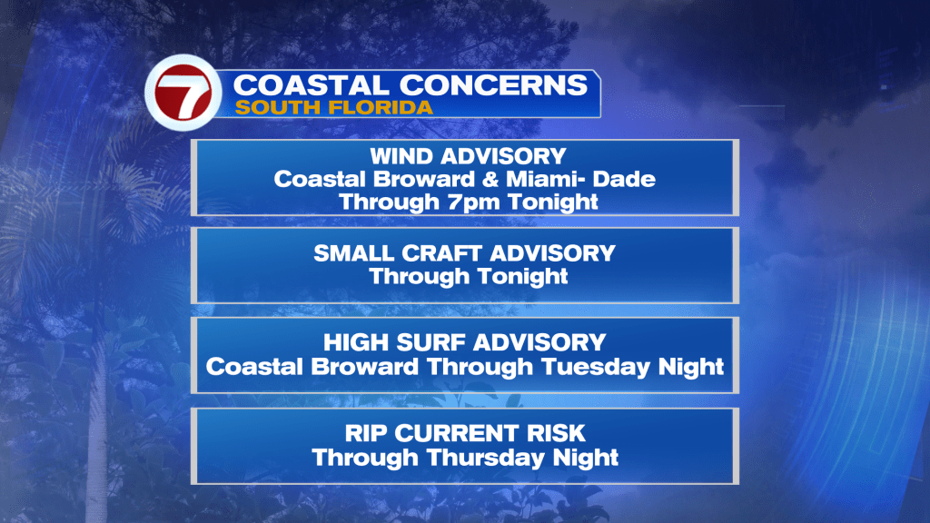
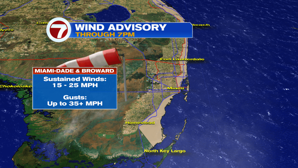
A Wind Advisory will be in effect for Coastal Broward and Miami-Dade through tonight with occasional gusts up to 35 mph. This can toss unsecured loose objects like Christmas decorations. Also, it could making driving difficult if you have a high profile vehicle, so drive with extra caution.
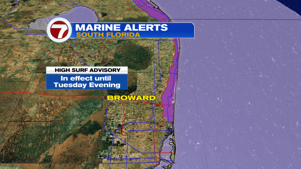
The wind will also produce large breaking waves in Coastal Palm Beach and Broward of 1 to 10 feet expected in the surf zone. A high rip current risk will be present through at least Thursday as winds begin to subside gradually.
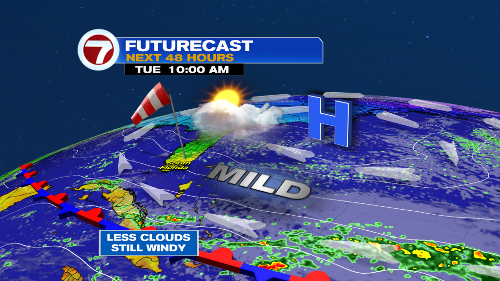
At least conditions will be drier by Tuesday and it seems like most of the week will feature mainly dry conditions with temperatures climbing to above average values. Another front could move in on Friday. Will there be any significant cooling with that one? Right now, models are not calling for sweater kind of temperatures, but the weekend looks good.
Have a wonderful day South Florida and make it a safe one!
Vivian Gonzalez
Meteorologist, AMS Certified
WSVN Channel 7