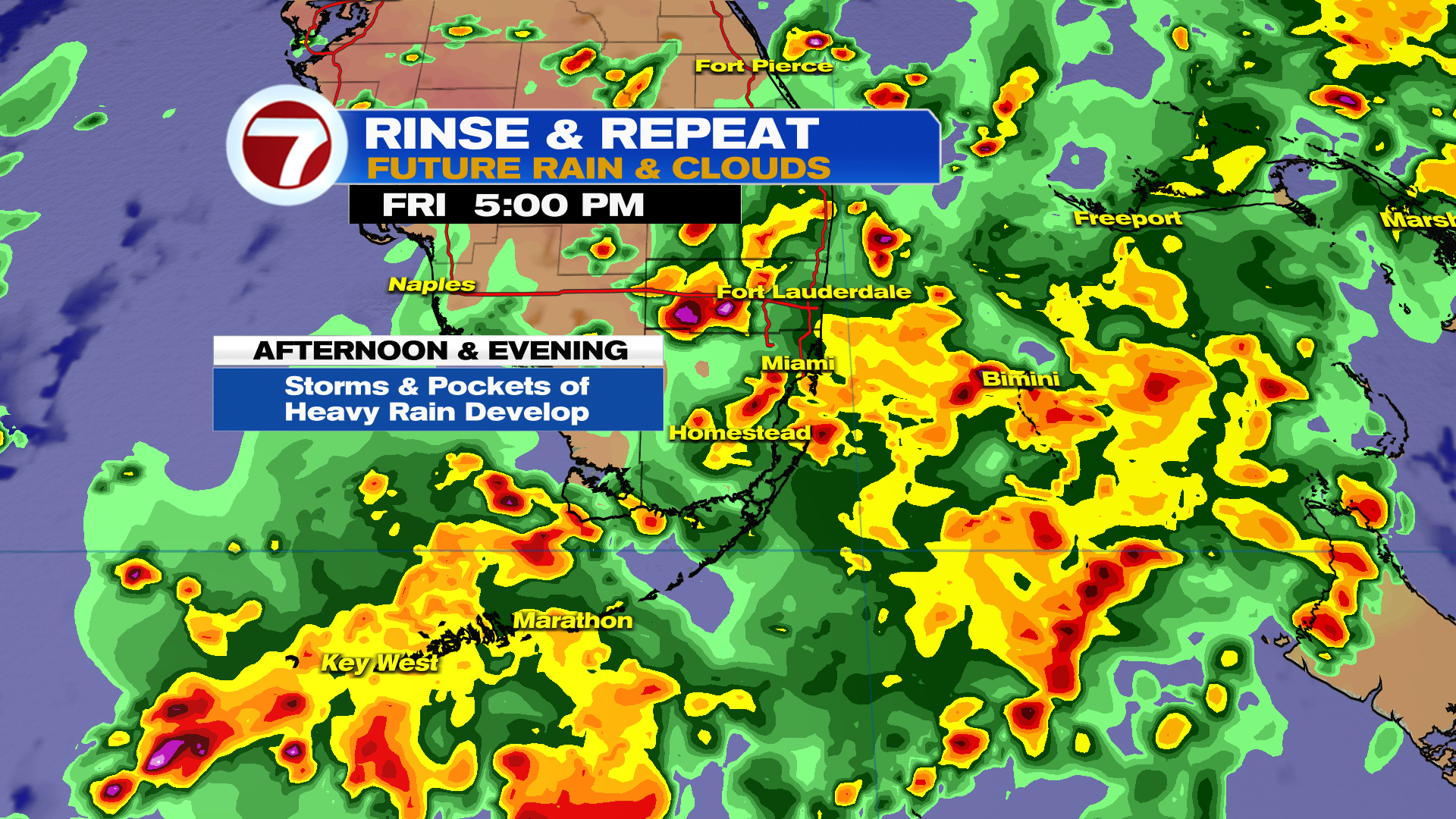
South Florida we are surrounded by moisture with a stalled front to our North and two lows. This is leaving our pattern unsettled for several more days.
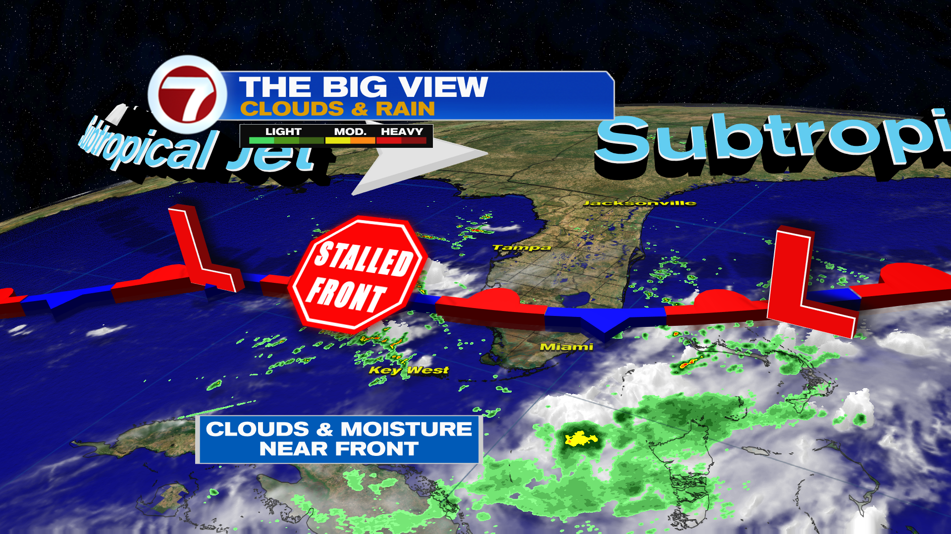
Best chance of seeing rain in the morning is for the Florida Keys and for mainland South Florida heading into the afternoon.
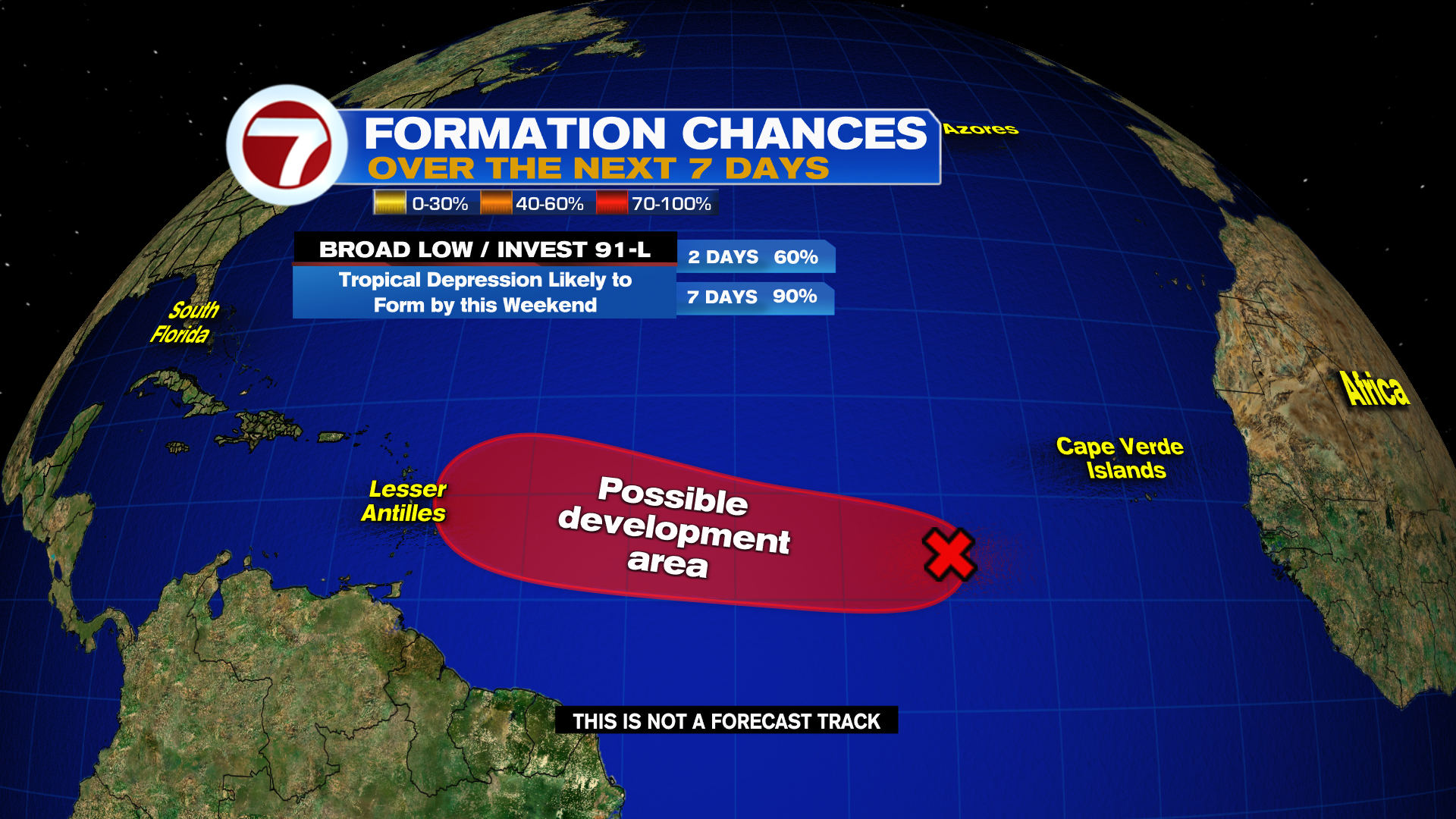
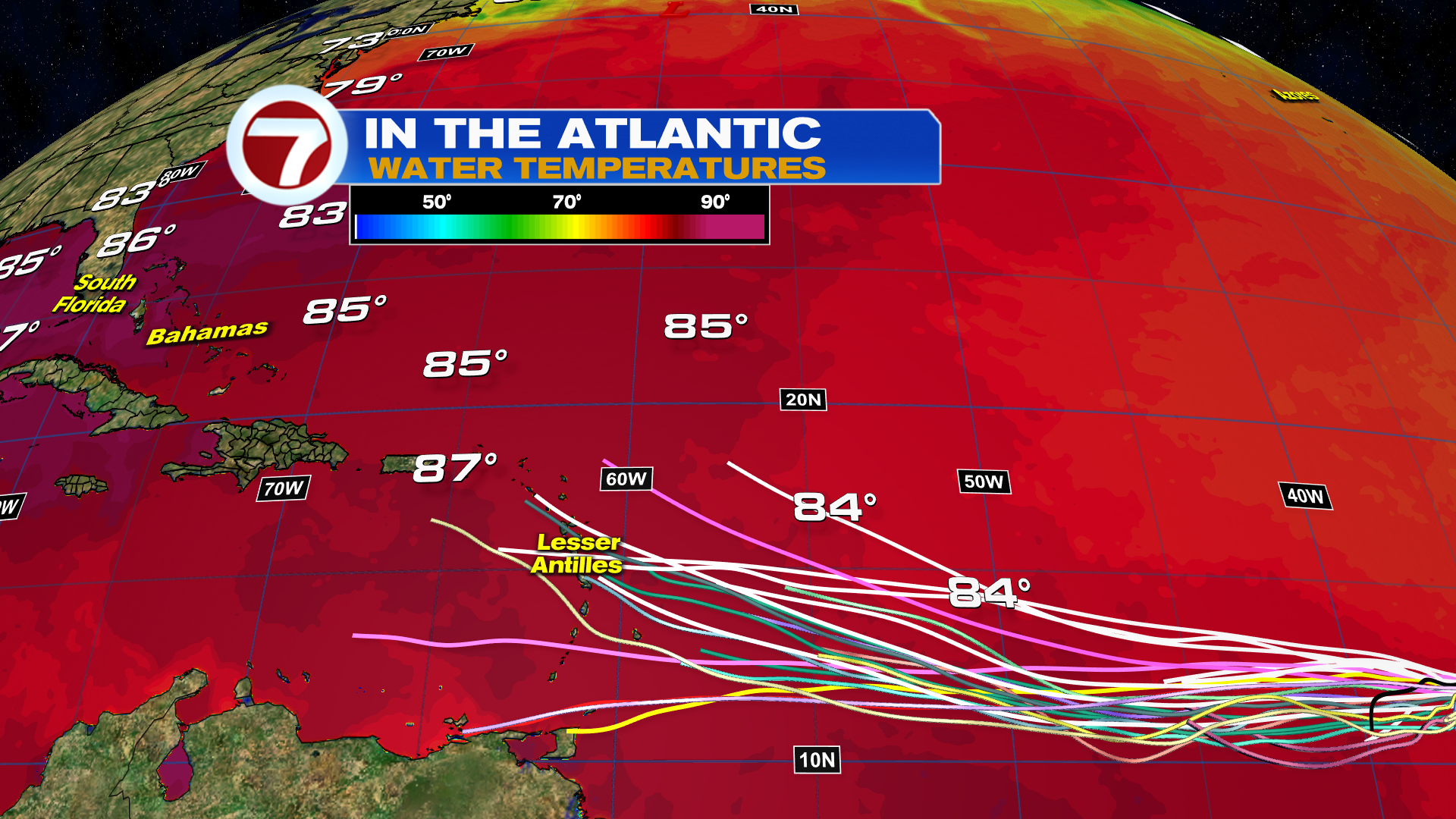
Today in the Tropics
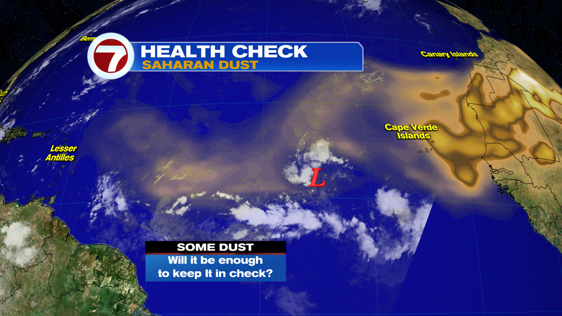
We are monitoring a disturbance in the Eastern Atlantic Ocean and it has a high chance to form into a Tropical Depression mostly likely over the weekend.
Right now, there is Saharan Dust impacting it from the North and West, but that will lessen in the days ahead.
There is plenty of warm water ahead in the 80’s that should help support the development of a Tropical Depression or Storm. Computer models are showing that it should be near the Lesser Antilles by the middle part of next week. There is plenty of time to watch and nothing has developed yet.
Have a wonderful weekend South Florida and make it a safe one!
Vivian Gonzalez
Meteorologist, AMS Certified
WSVN Channel