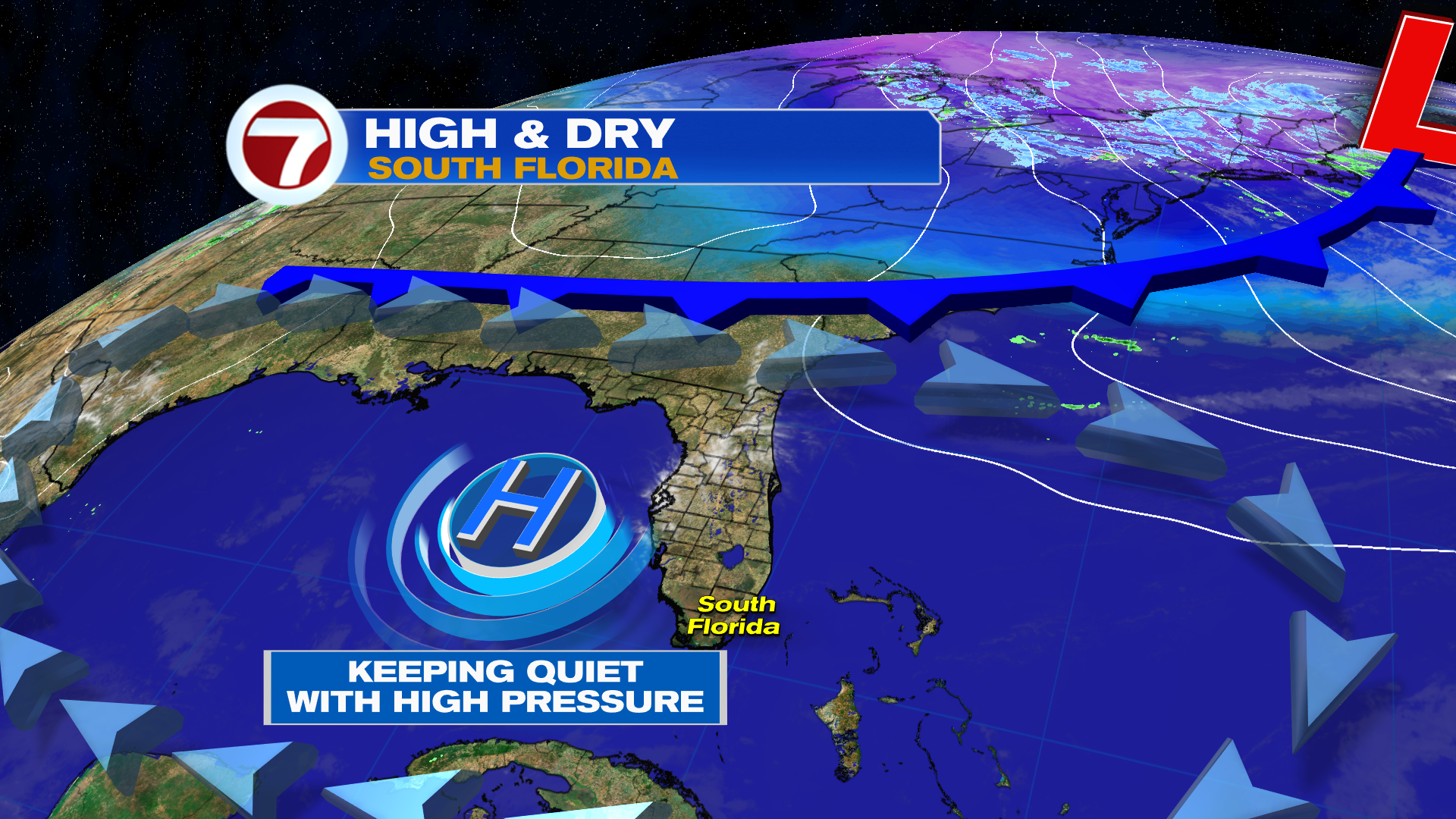
High pressure is still in charge located in the Gulf and that is providing for a Northerly flow with cool-ish mornings (upper 50’s to low 60’s) and seasonable afternoons (low 80’s).
By Tuesday, the area of high pressure in the Gulf will weaken sliding East helping winds turn from the North to Northeast. This should moderate temperatures gradually to warmer levels.
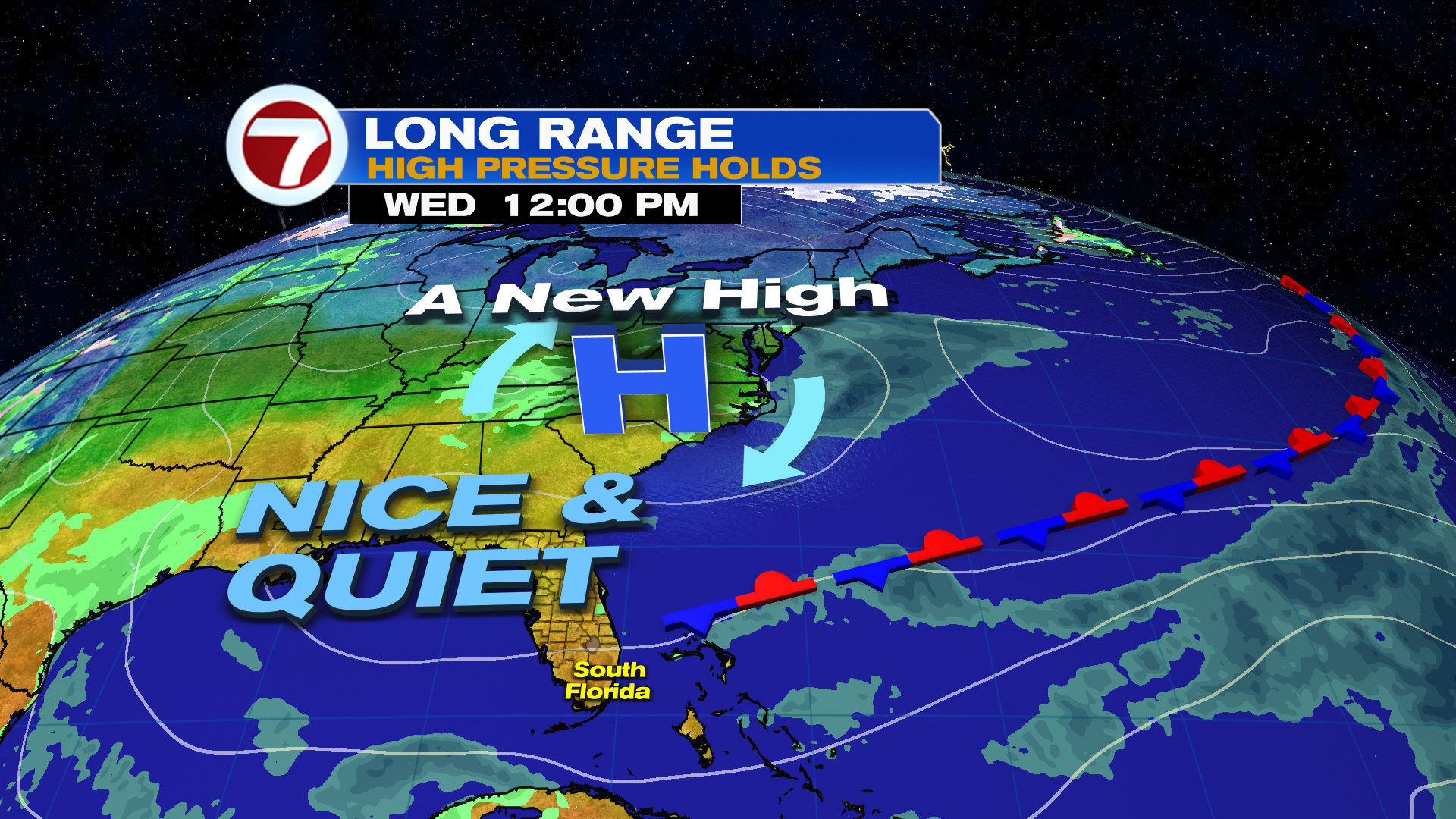
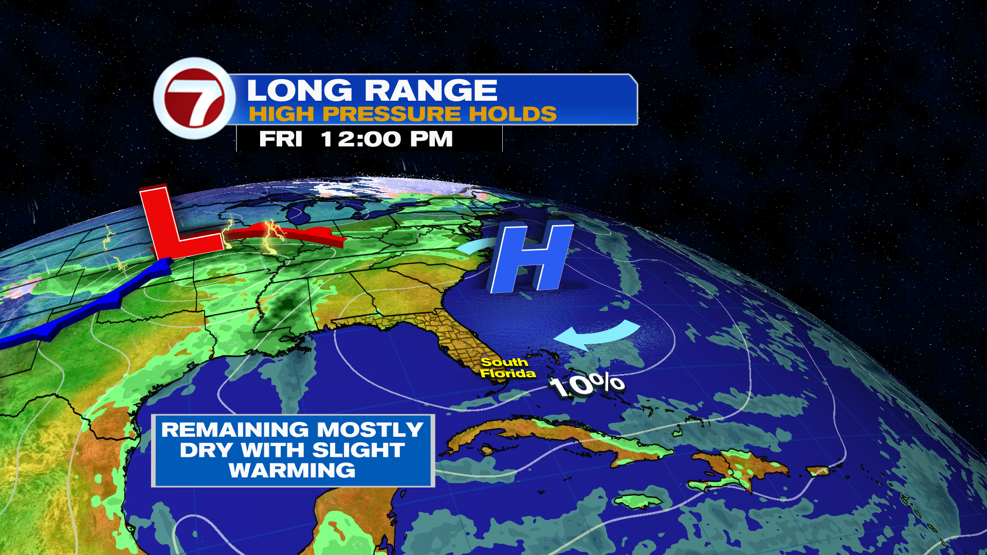
Models are showing another area of high pressure taking over across the mid-Atlantic states increasing winds out of the East. Therefore, look for temperatures to be slightly (2-3 degrees) above average from Wednesday through the weekend. We will also add just a slim chance of seeing a passing sprinkle on the breeze. No major changes expected anytime soon.
Have a wonderful day South Florida and make it a safe one!
Vivian Gonzalez
Meteorologist, AMS Certified
WSVN Channel 7